September 3, Arolla to Grimentz

Day summary:

    • 7 hours (Kev time)
    • 6 miles
    • gain 218 m, lose 554 m

Our original plan was to take a bus to La Sage or Villa, hike up to the Barrage de Moiry and then walk down into Grimentz for the night, expecting to take the bus back up to the barrage the next day – I didn’t want to cover the same ground twice, so the bus seemed like a nice option.  You can also stay at a refuge at the Barrage, but we’re all about comfort.  We found out later that our British friends had planned to stay at that hut, but it was full.  Our friends ended up having to hike a lot further up to a more remote refuge (actually running out of water on the way), so it may be wise to make reservations ahead of time.

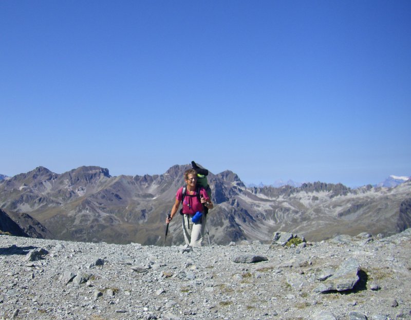
In order to give Barry’s feet a break – and to muster the energy to complete our trip, which had turned out to be more challenging than we had anticipated – we took a postbus from Arolla to Sion, a train to Sierre, and then another postbus from Sierre to Grimentz.

It was an enjoyable break, and we came to appreciate the amount of vertical ground we had been covering and the geography of the region beyond the mountains themselves.  It was weird (and wonderful) to cover so many miles so quickly!

Here is the journal entry for today:

I can’t say enough about Hotel Mont Collon!  Yes, there were very few guests there, but the owner went out of her way to help us.  We had a great petit dejeuner – typical, but plentiful.  The owner investigated travel info to get us from Arolla to Grimentz and printed it out for us.  Barry asked about Internet access and a computer, and she offered up her laptop, all while preparing the hotel for a conference of 85 people (which turned out to be PhD graduate students in environmental studies offering presentations of their theses, and going for hikes in the mountains – pretty cool!).

Our first leg was a bus from Arolla to Sion.  We actually rode past Ann and Joe (a couple from Australia whom we’d met at Mont Fort) as we neared Les Haudres.  It was crazy taking the bus up and down very narrow mountain roads with tight switchbacks and blind curves.  It was also great NOT TO BE WALKING.  It appears that the switchbacks are just big enough for the postbus to fit around – the driver goes right up to the rail before cranking the wheel to make the turn.  As a bus, we always win the war when bus encounters car coming towards us and there is only width for one vehicle.  Many a car had to back its way down to a spot with enough shoulder to pull off and let us through.

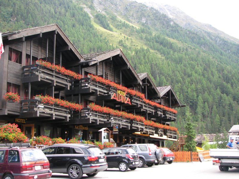
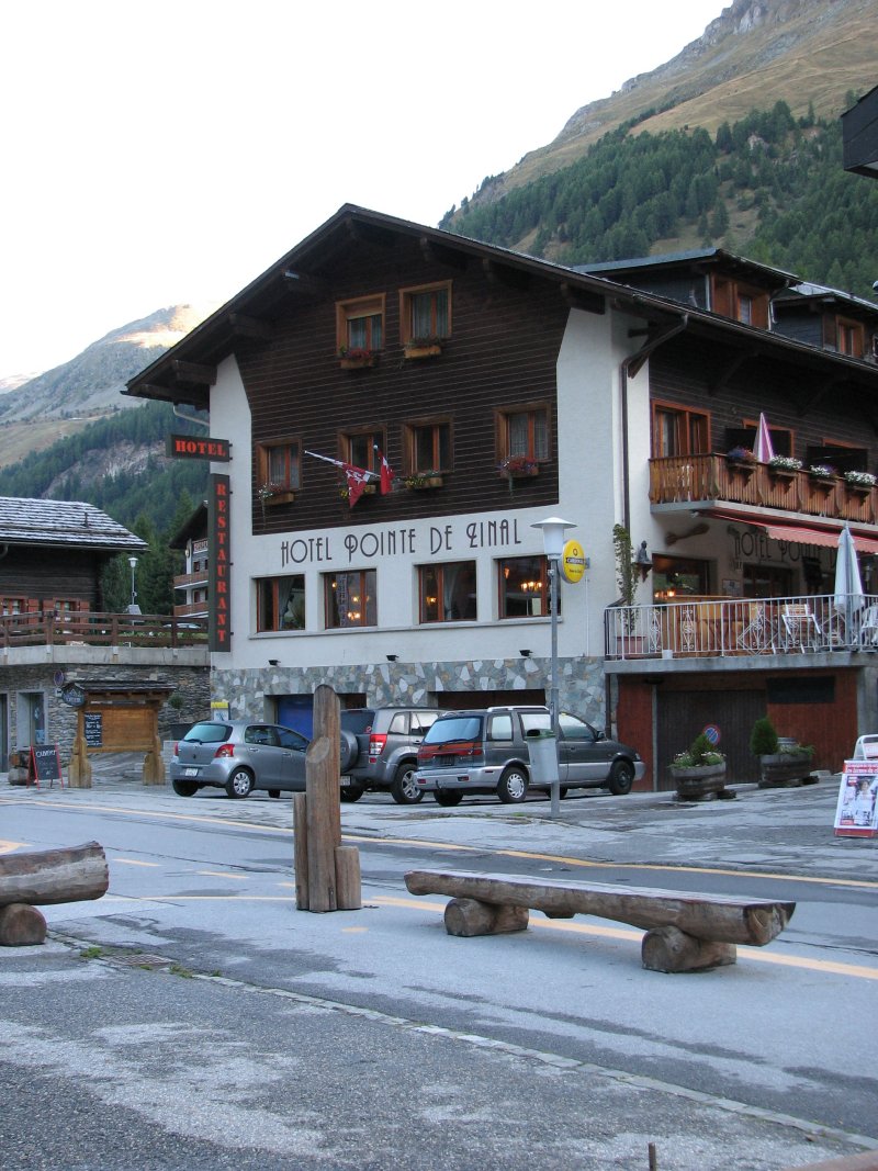
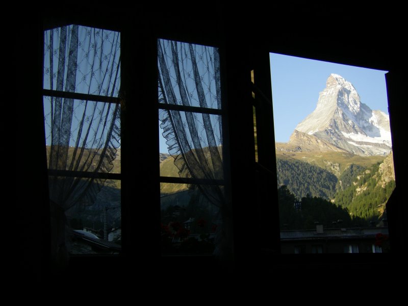
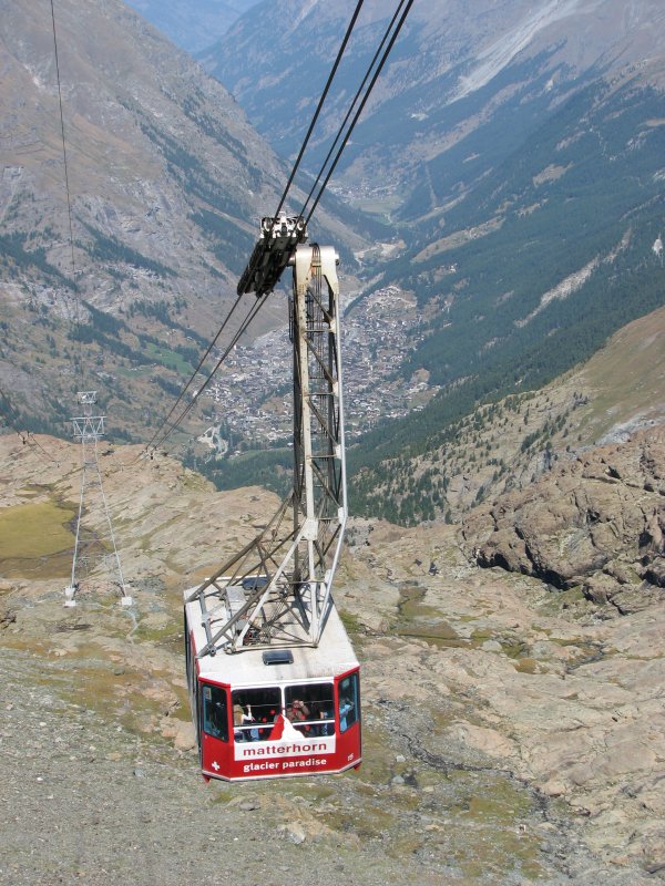
We lunched in Sion (capital of the Valais province) and caught a train to Sierre, then finished our motorized traveling day with another bus from Sierre to Grimentz.  We saw a lot of towns and farm fields along the way.  We are now in the Hotel Alpina, right across the street from the bus stop that will take us up to the Barrage de Moiry tomorrow morning.  We will hike up from there catch a cable car at Sorebois that will carry us down into Zinal.  Then we will decide what Barry’s feet can handle.  We have a couple of options: straight into Gruben or 2 days via Weisshorn.  We have already decided not to go to Zermatt via the Europa Hut. The book offers warnings about the trail from Gasenried to the hut.  If Kev offers warnings I get scared now – because there wasn’t enough warning for the steep, class 4 climb to Col de Riedmatten.  We have checked the weather and it looks pretty good for the next several days.  We have also heard that there is avalanche damage to the trail from the Europa Hut into Zermatt, creating quite the detour.  No thanks!

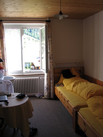
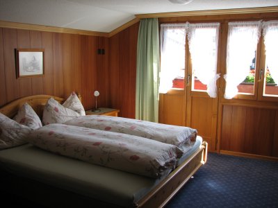
Off to dinner in a few minutes.  Hotel Alpina is pretty posh and modern compared to our stays over the last couple of nights.  No creaky floors, no dormitory-style beds, sleek shower, TV, etc.

—————————————————————————–

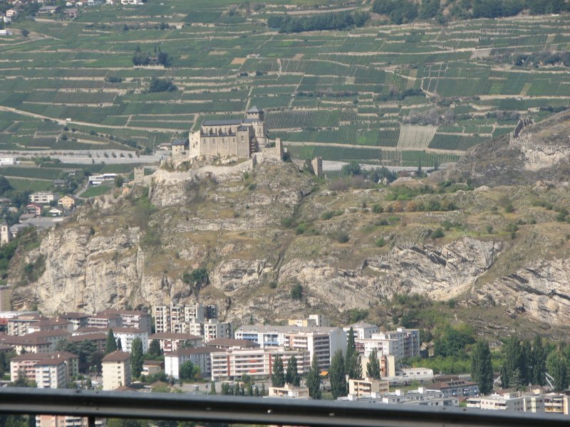
We enjoyed our rides on buses and trains.  Sion was interesting – bustling big city, with two tall islands of hills upon which sat a castle and what appeared to be an old monastery.  As mentioned in the “Accommodations and Traveling in Switzerland” article, we could have saved a lot of money if we had purchased a 3-day pass that would have covered the buses and trains we took today, as well as the bus from Grimentz up to the Barrage de Moiry tomorrow.  Oh well.  Live and learn.

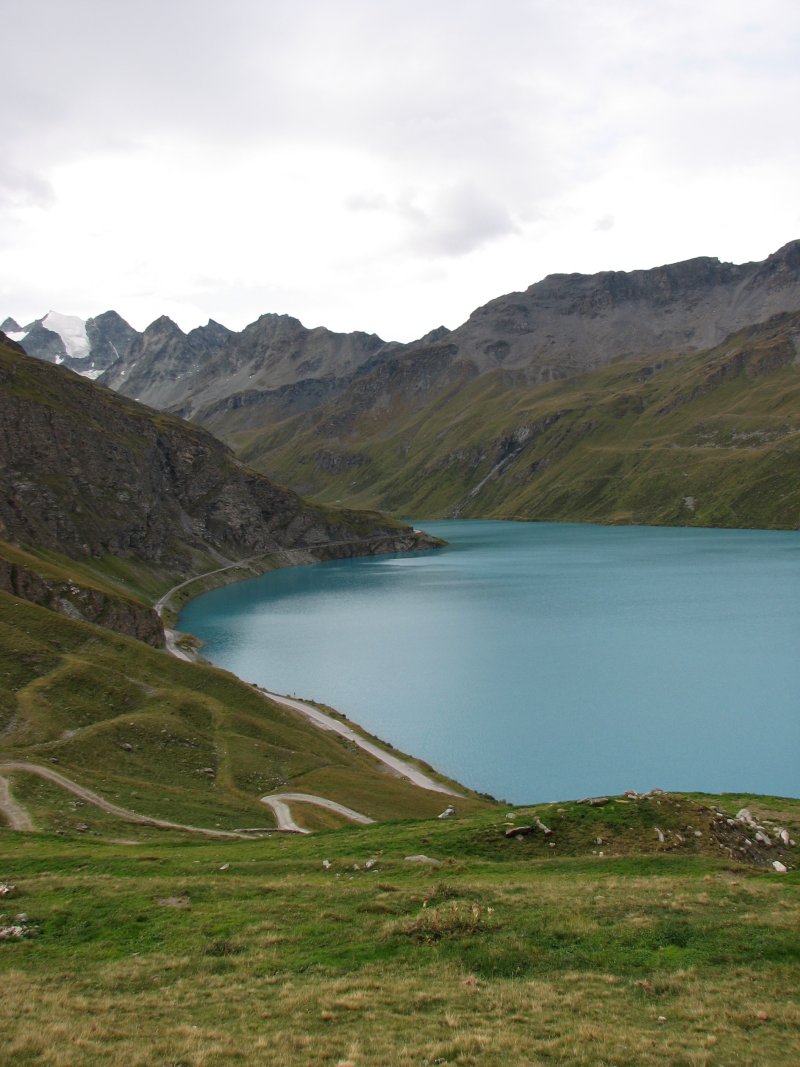
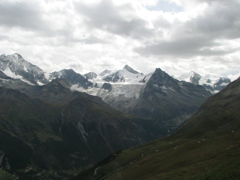
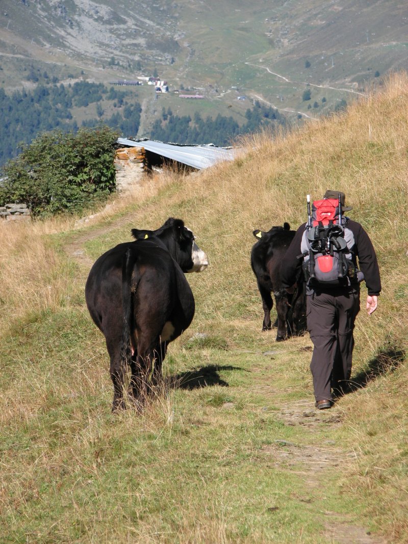
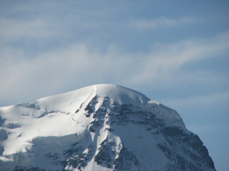
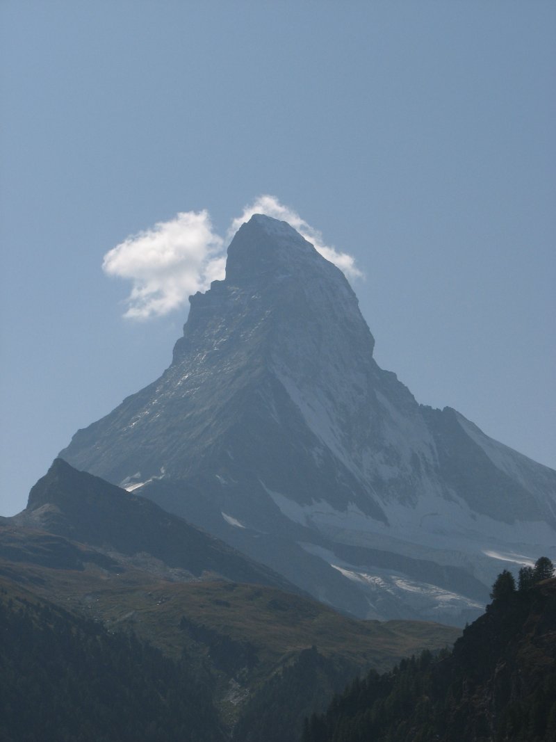
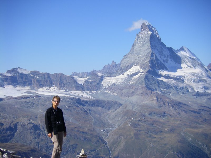
Today was “picture light” because we were speeding past all the scenery.

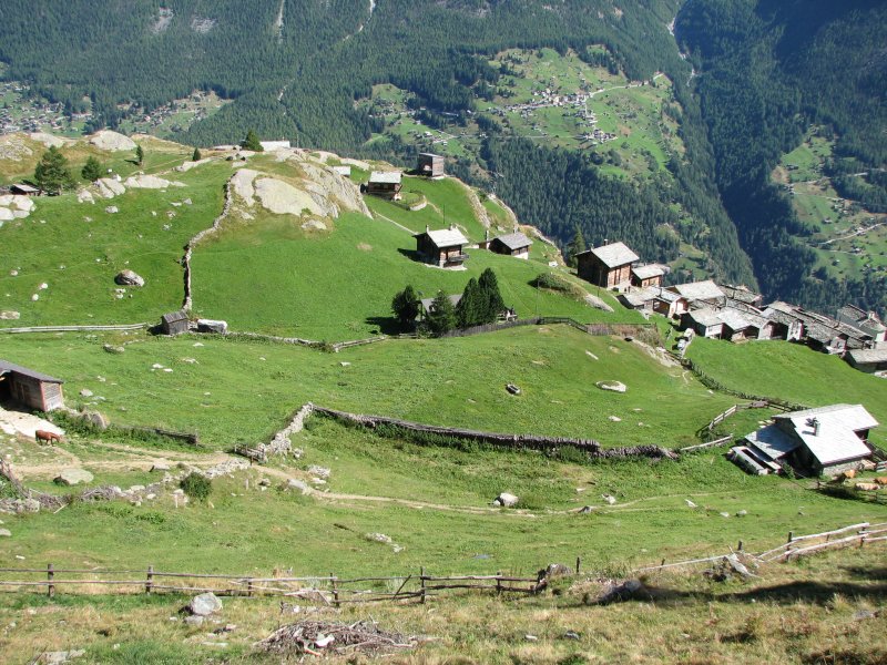
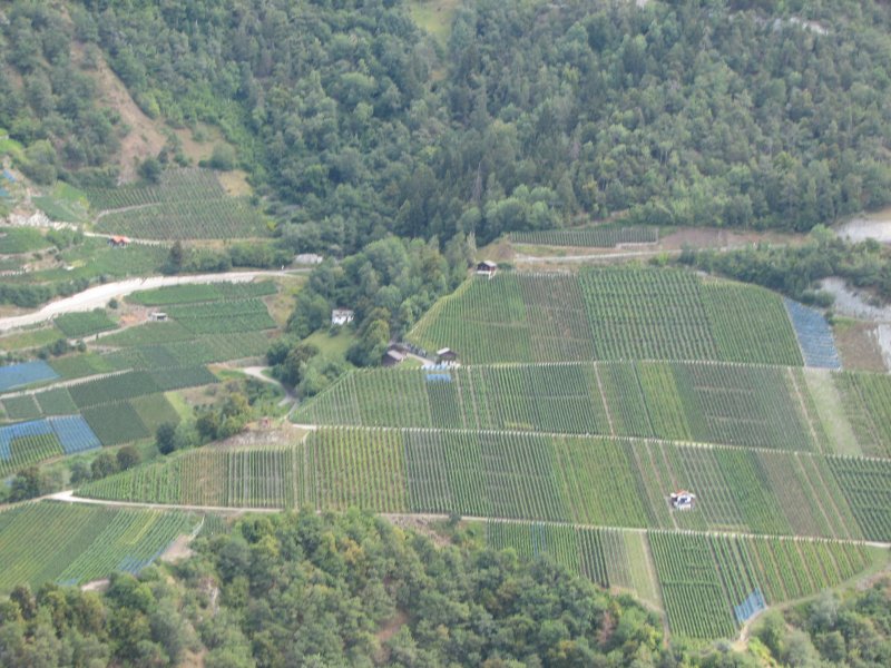
Interesting view of hillside agriculture

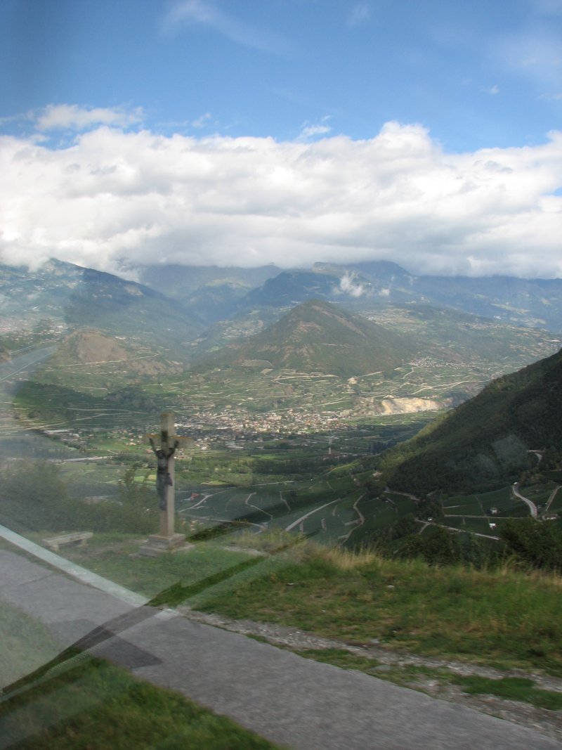
Roadside shrine/crucifix looking down into valley

Sion, provincial capital of Valais – and an old castle (?) atop a hill island

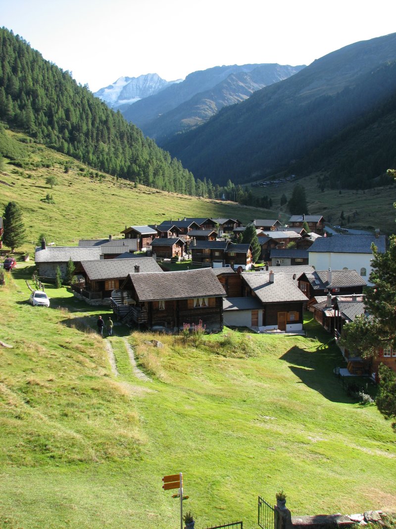
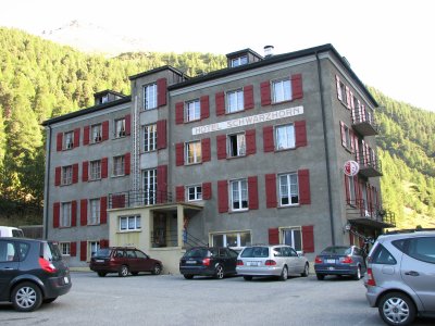
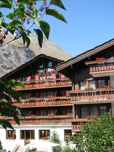
Hotel Alpina in Grimentz

September 4, Grimentz to Zinal

Day summary:

    • 5.5 hours (Kev time)
    • 8.5 miles
    • gain 1617 m, lose 459 m

But remember that we didn’t walk all of this.

The rides on the front and back end of today made it a good test of Barry’s feet and allowed us to ease back into hiking, helping us to decide that we really could finish the trip as planned.  After Riedmatten, I had told Barry that I would be okay if we never hiked another day in Switzerland.  I’m glad that we did – it was much easier after that day, and we still feel a great sense of accomplishment from completing the journey.

Here is the journal entry for today:

Today was a pretty easy day.  We had a great breakfast at Hotel Alpina – they even had a cool set-up for making soft-boiled eggs.

We took the bus up to the Barrage de Moiry – then it was a fairly quick walk up to the Col de Sorebois – that is the top of the ski area in Zinal.  We walked down amidst cows and sheep in the ski runs, under lifts and around to make our way down to the telepherique.  It was running once an hour, so we had to wait a bit for it.  While we were waiting, Alistair and Mike (our British friends) came down the mountainside!  They had not been able to stay at the Cabane de Barrage and had to hike another 2 hours up and east to Cabane des Becs de Besson – at 3000 m!  Sounds like a horrible evening, and both breakfast and supper were minimal.  They must have hiked super-fast this morning (the only people we met who could meet or beat Kev time) – when I think about how much ground they covered compared to us today.  We waved at them on the way down – us on the tram, them scurrying down the ski slopes.

We are staying at Hotel Pointe de Zinal- it is very comfortable, with a bright room and a view of the street.  It also has a little balcony (a much appreciated clothes-drying spot).  We booked this hotel on the Internet using Coeur du Valais, but I think we wouldn’t have had any trouble finding a place to stay.  Because it is a ski resort there are lots of hotels and dortoirs.

Barry took a nap; I went down to get postcards and ran into Alistair and Mike again and we chatted for awhile.  It has been fun to talk with them because Alistair is also a physical therapist, so we can compare and talk “shop.”  We’re planning to meet for a beer at 4:30 and share maps and books (Mike has an older Cicerone guide that doesn’t describe a newer cabane that they want to hike to beyond the Hotel Weisshorn).

Barry’s feet are much better, we’ll likely get back on track and make our way to Gruben tomorrow.

————————————————————————————

Barrage du Moiry

We took recursive photos while on Col de Sorebois!

Kev claims the views keep getting better as you descend into the valley – he is right!

Our hotel in Zinal

September 5, Zinal to Gruben

Day summary:

    • 6 hours (Kev again)
    • 8.5 miles
    • gain 1199 m, lose 459 m

We followed (in the opposite direction) the Z’s marking the trail, courtesy of the Sierre to Zinal marathon:

Today we only had one spot when we weren’t sure of our path.  More people hike to Weisshorn, so that track is quite visible.  The trail heading up and over to Pointe de la Forcletta is a little less obvious.  We made the transition today from French Switzerland to German Switzerland – quite a contrast in language and culture.  The change is visible on the maps when “cols” become passes and “mont” changes to “horn.”  It took about an hour to get out of the valley – it is the hallmark of this trip that you hike up in the morning just to hike down in the afternoon just to hike back up again the next morning.  We are literally crossing the “nap” of this corduroy-shaped terrain.

Our journal entry for today:

Bonus at breakfast this morning: they had a great breakfast (petit dejourner) buffet today.  We were the first ones down there, waiting for them to set it all up.  Then they delivered up fresh-from-the-oven croissants!  YUM!

We had a great day of hiking today.  It was super clear, but COLD.  We saw snow in shaded areas and icicles on grass by a stream.  It was a steep climb out of Zinal – not surprising, but then the trail stays at a fairly level height, following along the west edge of the valley.  We passed lots of munching cows, one of whom did not want to relinquish the path to me.

Finally we reached the fork where we headed west, breaking off from the more popular route to Hotel Weisshorn.  There wasn’t much of a marked path – it was just up a steep slope with lots of rivulets of water running down.  Eventually we reached a road that took us to the farm house and cross described by Kev – the alp of Tshalet.  To reach the start of the pass (Forcletta), you cross over some grassy hills.  The pass was surprisingly easy, compared to the several we have crossed this last week.  It’s a steady climb, but there is no scrambling.  The view at the top is disappointing, though.  You can’t really see all the cool peaks to the south yet.  It was also very cold and windy, so we kept hiking down before finding a comfortable spot for lunch.

The view from Chalte Berg is magnificent –  Weisshorn, Bishorn and the Tete de Milon are massive and the glaciers impressive.  After that it was just knee-grinding downhill to Gruben.  We didn’t take the path recommended by Kev because the sign indicated that we’d get there quicker on the one we chose.  But when you get down to the road, you are still at least a mile (or more?)  from the center of Gruben, so we should have taken the other trail.  We got lucky because 2 men were finishing up their work and heading home down into the valley.  They offered us a ride in their van – and as you can imagine, they didn’t have to ask twice.  They delivered us right to the hotel door and Barry offered to buy them a beer – they accepted, but chose coffee, and then we tried sustaining a conversation with their limited English and our non-existent German.  Kristof and son, Erik, were both very nice and kind – what a great introduction to this German side of Switzerland.

Hotel Schwarzhorn is very comfortable.  We have a sink in the room and there are newly remodeled showers and toilets across the hall.  Dinner was only so-so.  Nothing like what we have enjoyed so far.  Soup – what kind?, nice salad, then thin slabs of pork with gravy, shredded carrots and PLAIN spaghetti noodles.  Dessert was cold chocolate pudding.

The hotel has a good supply of lunch items and other food – good thing since there is NOTHING else in Gruben.

Apparently the hot time on a Saturday night in Gruben is standing around in the street outside the bar, by the cows, drinking beer!?!

Good night – I’m beat!

————————————————————————

Hotel Schwarzhorn has several floors featuring private rooms with a communal bathroom down the hall, and a couple of dortoir-style rooms on the upper level.  There is a bar on the lower level and then a little grocery store, check-in desk and the main dining area on the first level.  Inside the front door is a 3-D relief map of the Alps that gives a good perspective of the trip.  I think there is one other dortoir in Gruben, but it is a very small town without much going on.  We probably saw more people and activity since it was a Saturday.

Once out of the valley, we walked at a steady level along the slope and encountered many cows.

Moooove over!

Signs along the way

It wasn’t hard to figure out why they chose to build here – Chalte Berg

The village of Gruben

Hotel Schwarzhorn – looks just like the book showed

A view of our room

September 6, Gruben to St. Niklaus

Day summary:

    • 7 hours (Kev time)
    • 9 miles
    • gain 1072 m, lose 1767 m

This was not the day that we had originally planned.  We were going to hike into St. Niklaus, then take the bus to Gasenried and spend the night.  From there we would hike to the Europa Hut….  But you have already heard our change in plans.  This was a day of firsts and lasts…. first unplanned night, arriving in town without a hotel reservation and our last pass of the entire trip 🙁 or :)…  hard to tell – happy to be close to the end, sad to be almost done with this adventure.

Here is the journal entry for today:

Today was another long day, not for the amount of vertical, but because we kept expecting to go around a bend and see the end in sight.  Today we would go over our last pass!  Bittersweet thought.

We left Hotel Schwarzhorn at around 8:30 am, after almost everyone else – AGAIN!  It was a frosty morning:

It took 1 1/2 hours to get out of the valley – I think we were prepared for that.  Then we started heading over to Augsbordpass, the last pass of the trip.  The bad part was that it had a “false front,” so we thought we’d made it, but then had another steep climb to go.  It wasn’t particularly difficult, just long.  Cold at the top and view of new mountains, then we scurried down to a warmer spot for lunch (have you heard this before?).  We encountered several groups headed in the same direction, and saw our first group of campers on the whole trip.  We were surprised to see a little green tent settled in amongst the rocks.

Again – not psychologically prepared when we got down and out of the pass, we had a LOONG  valley wall walk before getting the pay-back panoramic views Kev promised.  Finally we did make it around that bend, and the skyline was fabulous!  We both took 360 degree shots to stitch together later.  Then DOWN, DOWN, DOWN again.  For the third time today it seemed to take forever to get down to where we were headed: the cable car at Jungen.  Once we reached St. Niklaus, we used the tourism office to find us a place – now we are both tired but showered and ready to relax until tomorrow.  We have an extra day since we did not go via the Europa Hut.  We could stay here another night, but will likely head to Zermatt and spend another day there.

———————————————————————————-

It is interesting to re-read this journaling.  It is obvious as the days go on that we’re getting tired, but this trip was so amazing and beautiful – it was worth it!  Be inspired – not discouraged.  This is a view worth hiking for:

I could tell that Barry was feeling much better – he beat me up to the pass!

Somewhere along the trail today, I saw this mangy looking thing:

For the first time (since my little detour to Prafleuri) we walked over snow along the valley wall.

The valley wall walk was more boulder-jumping – but as we got closer to Jungen, there were stretches that were more “developed” or man-made.  It was beautiful – views down the valley to the north and of Alps in every other direction.  Can you ever really get tired of this?

The walk down to Jungen involved hiking back and forth down the slope to reach this remote little farming enclave – an isolated village accessible only by cable car (?).

When we arrived at the cable car access, there were three people sitting on the 4-person-capacity car waiting to descend.  Without any English, we figured out that there was a camera and “call button” to let the operator at the bottom of the hill know that someone wanted to go down.  Why these 3 were still sitting there, I’m not sure.  Anyway, we waited for awhile, and were frustrated that nothing seemed to be happening.  Thank goodness that a Swiss German-speaking couple arrived and communicated with the operator – Voila – the car descended and another ascended – and we were able to board and glide down the very steep hill into St. Niklaus.  Neither of us has been that far off the ground and NOT been in an airplane – the slope was that great!

Narrow street in St. Niklaus

September 7, St. Niklaus to Zermatt

Day summary:

    • 4.5 hours (Kev…)
    • 11 miles
    • gain 479 m

It did not take 4.5 hours…  It wasn’t hard, but it took longer than that.  Today was not hiking – it was walking.  Sometimes alongside a road, sometimes on a path above the river.  It was not challenging, but it was also a great last day, walking up the valley, through villages, finally catching a glimpse of the Mont Choco Matterhorn and eventually entering Zermatt.  We even walked through a golf course!

Here is the journal entry for today:

WE MADE IT!  We did not do the 2-day trek via the Europa Hut for reasons described earlier.  We did the “Alternate route: Stage 13” as described in the Cicerone book.  It took us awhile to find the way to the trail from St. Niklaus.  But we knew we couldn’t go wrong, since all roads going south lead to Zermatt.  Much of the “trail” today was actually walking on roads or unpaved roadbeds.  Not always exciting, but occasionally interesting – going through small alpine villages.  We made it to Randa by lunch time – which we realized was a mistake since everything closes at noon.  We had lunch fixings but were psyched to enjoy a bottle of sodapop with it.  We walked by a small shop just as the owner was locking up.  I pleaded with him for 2 coca colas and he let me in to make my purchase – Danka!  We found a park bench a little further on and sat down for yet another lunch of bread, cheese and salami – but this time with REAL coca cola, sugar and all!

We alternated between paved road, path and unpaved road.  Sometimes we were walking next to train tracks, sometimes over them, but always beside the river, fed by glaciers “gletchers” from Breitthorn and the Matterhorn.

Finally, we walked around the bend and saw the Matterhorn, distinctive and obvious – for the first time! It was very impressive, though still far off.  As we continued walking, we understood Kev’s comment that the north side of Zermatt is in a constant state of construction – which makes sense since that is the only direction for growth.  At a certain point, only electric cars are allowed into the city, but before you reach that boundary, there is a lot of traffic and trucks, hauling and building.

We finally descended to the road and made our way through goofy traffic to the train station and tourist office.  We called the Hotel Dufour to see if we could get a room a day early.  They said yes, gave directions and we made our way here.  It is another lovely hotel – with a great view of the Matterhorn!  Can’t wait to see sunrise!

A walk around and a great – different – supper of ravioli and pizza.  And we are ready to sleep and then find a day of adventure here in Zermatt.

————————————————————————————-

Although not the rugged trek of our early trip days, we really enjoyed this walk through villages and into Zermatt.  To finally see the Matterhorn was fantastic.  Funny – it is not nearly as beautiful as many of the other peaks featured along this trek – Mont Blanc, the Combins, Weisshorn, Breitthorn – all covered with layers of snow, leaking glaciers on the north, but it is the iconic Swiss Alp.  And it serves as the symbol of our trek’s completion – emblazoned on a cookie, no less!

View from hotel room

My sunrise shot!

Trails end: Zermatt

We thoroughly enjoyed our 2 days in Zermatt.  It is a large ski resort with tons of tourists – and skiers – even at this time of year.  I guess it is a rare place where you can ski all year round.  Kev describes it well when he talks about expensive fashion and jewelry shops.  Needless to say, we didn’t buy much in Zermatt.  But it was fun to walk around, see the old village, the climber’s cemetery and all the people.

Buildings in Old Zermatt Village

The climber’s cemetery was eerie and beautiful

We chose our hotel because it was recommended by our friends who had done this trip before.  We were not disappointed – pretty good value, amazing view and very good petit dejourners.  We told Cindy and Peter about it, and were pleased when they joined us there the next day.  We were able to make reservations by email.

Here are journal entries for Sept 8 and 9:

It was great to relax and sleep in this morning, but I did want to get a sunrise picture of the Matterhorn.  I shot a few – I could almost do it lying down in bed, our view is so great!  Breakfast was fantastic – great bread, the usual meat and cheese, and lots of grains and nuts to add to muesli or granola.  It was hard to hold back, even though we knew wouldn’t be hiking 10 miles to burn it off.

We sprang for the Panoramic Pass, a 2-day pass that enabled us to go up several cable cars/trams to view the Matterhorn and Breitthorn up close.  There were lots of skiers – including (we think, based on equipment and apparent sponsors) the Swiss and German national teams.


There were also a lot of climbers going up Breitthorn and another peak to the west.

You can just make out the tiny figures of those who reached the summit

We’ll go to the other lift tomorrow.  Tonight we plan to meet up with Cindy and Peter, who are staying in the room next door.  We’re glad they were able to get a room, and we’re looking forward to catching up on their trip.

After our first day, the Matterhorn had a constant cloud around its head.

The cable/tram up to the Klein Matterhorn (“Little Matterhorn”) and another intermediate location to the south of Zermatt were cool.  The “Sunnega” paradise was the starting-off point for hikers (and Matterhorn climbers, though we didn’t see any actually climbing on the mountain).  The Klein Matterhorn (highest lift) takes you up to summer skiing and the base for those hoping to summit Breitthorn.  Riding over the glaciers was spectacular.  Again, it is amazing that they have these cables set up so high – and have blasted tunnels through mountains way up here.

Looking down into Zermatt

Spectacular glacial view

We basically spent all morning and early afternoon up enjoying the rides and views.  For lunch we ate left-over dinner and the end of the bread/cheese/salami that we had packed for lunch at the end of our trip.  We poked around Zermatt afterward, my goodness, it’s expensive!  I would love to buy another set of clothes (since I’m pretty sick of the same, dirty stuff), but not at these prices.

We joined up with Peter and Cindy for dinner and to hear about their trip and adventures.  They also took the bus and cable up to Verbier and Les Ruinettes on their way to Mont Fort (not their original plan, but I think Cindy was impressed with our idea enough to convince Peter to take advantage of the cable cars).  I think they hiked to Prafleuri, but somehow got down and avoided Col de Riedmatten and Pas de Chevres (good plan).  They made it to Arolla and hiked up the back side of the col and looked down!  We shared contact information, and it would be fun to re-connect with them.  They are both on sabbatical from NAU and have 6 weeks of travel ahead of them.

Today we used the rest of our 2-day pass to go up the other cable/tram system to Rothorn.  Surprisingly, it started with an underground train going straight up to a cable car stop.  We went all the way up, via telepherique and enjoyed another view of all the mountains.  This side of the valley was very different from what we experienced yesterday.  In the winter, this is a “free” area, without specific runs.  In the summer, it is a celebration of the mountains!  Each mountain had a plaque with a photo of the peak and something written about it by previous climbers.  I took many photos!  It was a magical place – my favorite of the 3.  We watched paragliders take off into the valley and I created my own Matterhorn cairn after admiring one that someone else had made.  Beautiful and fun morning – yet again fantastic weather.

Each mountain had a sign showing a photo, naming it and giving information and a statement…

They helped us to identify and name all of the peaks


We were buzzed by the Swiss military – quite a surprise:

It was odd to see the barren back (southern) side of Weisshorn:

In the evening, we hopped onto the train to Basel, but didn’t get to enjoy much viewing of the countryside because we were underground much of the time!

——————————————————————————————-

Rothorn was my favorite part of Zermatt.  For 360 degrees, there were mountains surrounding you.  And each one was different and special – commemorated by the photos and plaques that told the stories and emotions of climbing, summiting and finding peace and grace in the mountains.  It seemed a fitting place to end our trek.

My Matterhorn cairn